Chaos to Cohesion
Nehal Jain + John Li
This project explores the potential of AI, specifically generative neural networks like StyleGAN, StyleTransfer, and Infinite Image (Runway ML), in streamlining the urban planning and design process in post-conflict cities like Mariupol, Ukraine. The project aims to address existing biases in media and AI and provides innovative solutions while serving as a prototype tool for areas lacking adequate infrastructure, contributing to more equitable and sustainable urban environments.
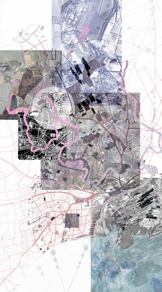
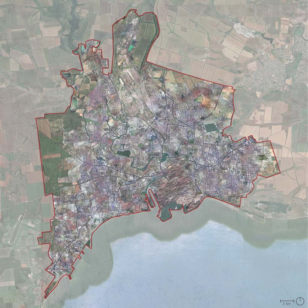
The rapid advancements in artificial intelligence (AI) and its diverse applications have transformed the way we approach problem-solving. The field of architecture and urban design is no exception, and this project seeks to explore the potential of AI in streamlining the urban planning and design process, particularly in post-conflict cities like Mariupol, Ukraine. The project investigates the use of generative neural networks as a tool to enhance the efficiency of the design process and provide better outcomes. By leveraging the potential of AI technology, the project aims to develop innovative solutions that can help address the challenges faced by urban planners and designers in post-conflict cities.
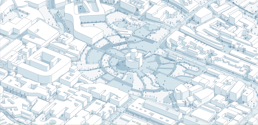
The project acknowledges the existing biases in media and AI, especially in the context of conflicts rooted in imperialism, like the Mariupol invasion. The approach and dataset adopted in the project strive to address these biases while utilizing the potential of AI in the urban planning and design process. Through critical evaluation, the project aims to identify and overcome these biases to ensure the project’s outcomes contribute to the broader discourse on the role of AI in urban planning and design. The thesis centered around the utilization of machine learning networks, specifically StyleGAN and StyleTransfer, as design tools that produce images to inspire the final design. The project not only aims to provide innovative solutions to the reconstruction of war-torn cities but also serves as a prototype tool for areas lacking adequate infrastructure. Though the primary focus of the project is on the urban scale, the dataset and code parameters can be modified to cater to various scales, ranging from a studio floor plan to an overall district plan. The versatility of the project’s findings adds to the potential applicability in diverse urban planning and design contexts, contributing to more equitable and sustainable urban environments.
For more information about our project, please visit https://cdn.me-qr.com/pdf/14322304.pdf
